Former tollhouse
Introduction
The photograph on this page of Former tollhouse by Chris Minto as part of the Geograph project.
The Geograph project started in 2005 with the aim of publishing, organising and preserving representative images for every square kilometre of Great Britain, Ireland and the Isle of Man.

There are currently over 7.5m images from over 14,400 individuals and you can help contribute to the project by visiting https://www.geograph.org.uk
Former tollhouse
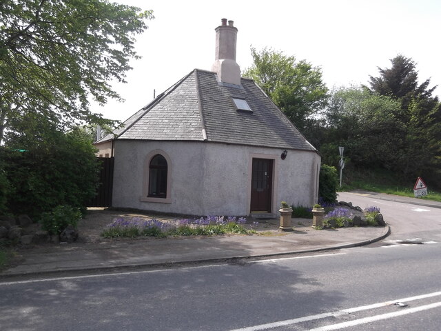
Image: © Chris Minto Taken: 19 May 2014
Surveyed by the Milestone Society. This former, traditionally shaped, tollhouse is on the A947 south east of Banff and south of Macduff at the junction of the minor road to Turriff along the River Deveron valley on National Cycle Network Route 1.
Images are licensed for reuse under creativecommons.org/licenses/by-sa/2.0
Image Location
Latitude
57.660605
Longitude
-2.494549