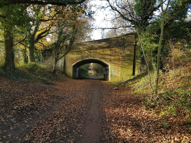
Watford: Ebury Way, Tolpits Lane bridge
Introduction
The photograph on this page of Watford: Ebury Way, Tolpits Lane bridge by Nigel Cox as part of the Geograph project.
The Geograph project started in 2005 with the aim of publishing, organising and preserving representative images for every square kilometre of Great Britain, Ireland and the Isle of Man.
There are currently over 7.5m images from over 14,400 individuals and you can help contribute to the project by visiting https://www.geograph.org.uk

Image: © Nigel Cox Taken: 26 Nov 2020
Ebury Way viewed looking west towards the A4145 Tolpits Lane bridge and then to Rickmansworth. Ebury Way follows the trackbed of the long dismantled railway line from Watford to Rickmansworth. Opened in 1862, it was shortly afterwards taken over by the London & North Western Railway, but was an early victim of the post-war Nationalization of the railways, closing to passenger traffic in 1952.

