Course of the former Chesterfield Canal, northeast of Staveley
Introduction
The photograph on this page of Course of the former Chesterfield Canal, northeast of Staveley by Colin Park as part of the Geograph project.
The Geograph project started in 2005 with the aim of publishing, organising and preserving representative images for every square kilometre of Great Britain, Ireland and the Isle of Man.

There are currently over 7.5m images from over 14,400 individuals and you can help contribute to the project by visiting https://www.geograph.org.uk
Course of the former Chesterfield Canal, northeast of Staveley
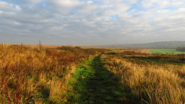
Image: © Colin Park Taken: 26 Nov 2020
The Chesterfield Canal is in the process of being restored in some areas. It will be quite a mammoth task when work starts on this area as it has been filled in.
Images are licensed for reuse under creativecommons.org/licenses/by-sa/2.0
Image Location
Latitude
53.273501
Longitude
-1.342412