Canterbury: house on St Stephen's Road
Introduction
The photograph on this page of Canterbury: house on St Stephen's Road by Christopher Hilton as part of the Geograph project.
The Geograph project started in 2005 with the aim of publishing, organising and preserving representative images for every square kilometre of Great Britain, Ireland and the Isle of Man.

There are currently over 7.5m images from over 14,400 individuals and you can help contribute to the project by visiting https://www.geograph.org.uk
Canterbury: house on St Stephen's Road
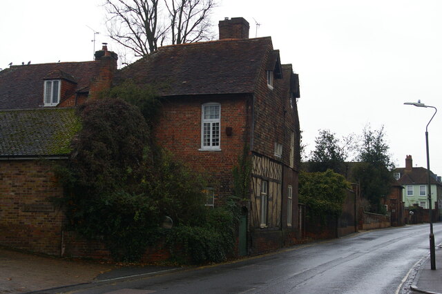
Image: © Christopher Hilton Taken: 26 Nov 2018
Dotted up St Stephen's Road are various older buildings now engulfed in twentieth-century suburbia.
Images are licensed for reuse under creativecommons.org/licenses/by-sa/2.0
Image Location
Latitude
51.289247
Longitude
1.079193