Phone mast at Bunker Hill
Introduction
The photograph on this page of Phone mast at Bunker Hill by Robert Graham as part of the Geograph project.
The Geograph project started in 2005 with the aim of publishing, organising and preserving representative images for every square kilometre of Great Britain, Ireland and the Isle of Man.

There are currently over 7.5m images from over 14,400 individuals and you can help contribute to the project by visiting https://www.geograph.org.uk
Phone mast at Bunker Hill
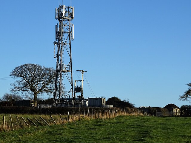
Image: © Robert Graham Taken: 25 Nov 2020
In a field to the east of Medomsley Road. The farm of the same name is just over the brow of the hill. This is a good place for a mast, at 272m - almost 900ft.
Images are licensed for reuse under creativecommons.org/licenses/by-sa/2.0
Image Location
Latitude
54.86706
Longitude
-1.824062