Rowhook Mission Room (Interior)
Introduction
The photograph on this page of Rowhook Mission Room (Interior) by Dan Gregory as part of the Geograph project.
The Geograph project started in 2005 with the aim of publishing, organising and preserving representative images for every square kilometre of Great Britain, Ireland and the Isle of Man.

There are currently over 7.5m images from over 14,400 individuals and you can help contribute to the project by visiting https://www.geograph.org.uk
Rowhook Mission Room (Interior)
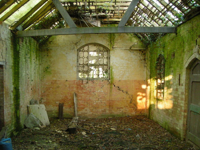
Image: © Dan Gregory Taken: 19 Dec 2007
This derelict building beside Waterlands Lane at Rowhook started life as a village school in the mid to late nineteenth century. It is marked on the 1875, 1880 and 1897 Ordnance Survey maps as 'School, Boys & Girls', but by 1914 had become a 'Mission Room.' This view of the interior was obtained via a broken window.
Images are licensed for reuse under creativecommons.org/licenses/by-sa/2.0
Image Location


Leaflet Map data © OpenStreetMap
Latitude
51.094077
Longitude
-0.399441