A steep path by Grove Farm
Introduction
The photograph on this page of A steep path by Grove Farm by Neil Owen as part of the Geograph project.
The Geograph project started in 2005 with the aim of publishing, organising and preserving representative images for every square kilometre of Great Britain, Ireland and the Isle of Man.

There are currently over 7.5m images from over 14,400 individuals and you can help contribute to the project by visiting https://www.geograph.org.uk
A steep path by Grove Farm
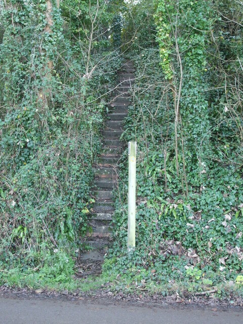
Image: © Neil Owen Taken: 10 Nov 2020
The footpath across the common takes a sudden and severe drop as it approaches Dundry Lane. The steps are narrow, mossy and (importantly) there is no handrail to assist walkers. It's quite a test to not land in the middle of the road.
Images are licensed for reuse under creativecommons.org/licenses/by-sa/2.0
Image Location
Latitude
51.401806
Longitude
-2.64066