Wirral Way running through rock canyon, east of Neston
Introduction
The photograph on this page of Wirral Way running through rock canyon, east of Neston by Colin Park as part of the Geograph project.
The Geograph project started in 2005 with the aim of publishing, organising and preserving representative images for every square kilometre of Great Britain, Ireland and the Isle of Man.

There are currently over 7.5m images from over 14,400 individuals and you can help contribute to the project by visiting https://www.geograph.org.uk
Wirral Way running through rock canyon, east of Neston
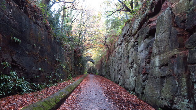
Image: © Colin Park Taken: 4 Nov 2020
East of Neston, the Wirral Way runs in a rock cutting with sheer walls for almost a half mile.
Images are licensed for reuse under creativecommons.org/licenses/by-sa/2.0
Image Location


Leaflet Map data © OpenStreetMap
Latitude
53.289672
Longitude
-3.048095