Furnace Inn Street, off Sticker Lane
Introduction
The photograph on this page of Furnace Inn Street, off Sticker Lane by Stephen Craven as part of the Geograph project.
The Geograph project started in 2005 with the aim of publishing, organising and preserving representative images for every square kilometre of Great Britain, Ireland and the Isle of Man.

There are currently over 7.5m images from over 14,400 individuals and you can help contribute to the project by visiting https://www.geograph.org.uk
Furnace Inn Street, off Sticker Lane
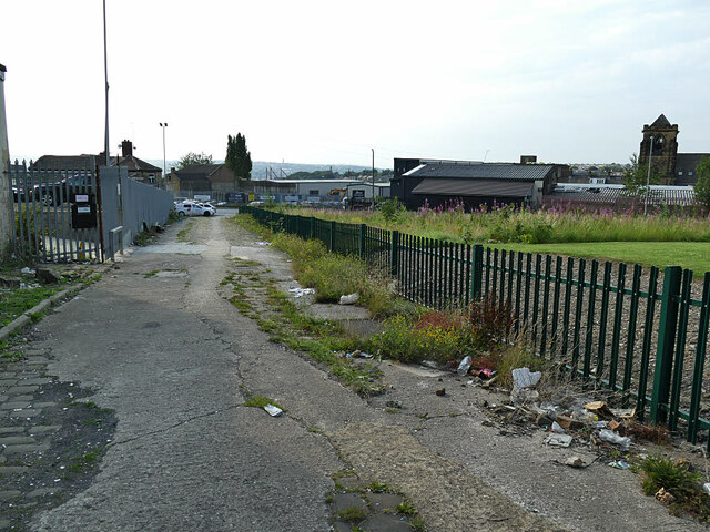
Image: © Stephen Craven Taken: 10 Aug 2020
A setted street, covered in a now failing thin layer of concrete. The name derives from a former pub on the corner which in turn took its name from the nearby Bowling ironworks.
Images are licensed for reuse under creativecommons.org/licenses/by-sa/2.0
Image Location
Latitude
53.78813
Longitude
-1.719014