Scafell Close, Warndon, Worcester
Introduction
The photograph on this page of Scafell Close, Warndon, Worcester by Chris Allen as part of the Geograph project.
The Geograph project started in 2005 with the aim of publishing, organising and preserving representative images for every square kilometre of Great Britain, Ireland and the Isle of Man.

There are currently over 7.5m images from over 14,400 individuals and you can help contribute to the project by visiting https://www.geograph.org.uk
Scafell Close, Warndon, Worcester
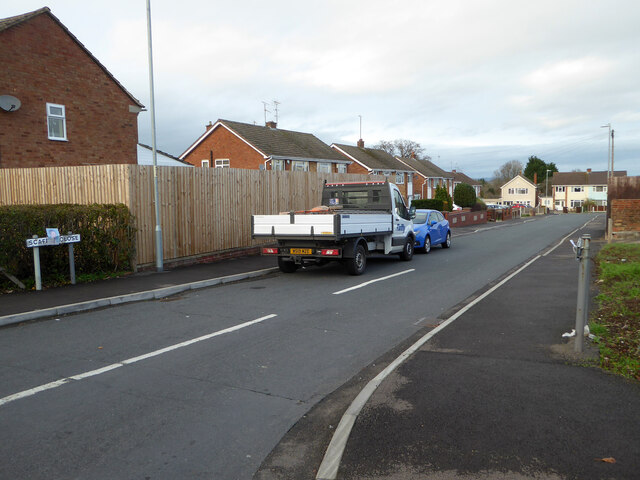
Image: © Chris Allen Taken: 21 Nov 2020
Seen from its junction with Ambleside Drive. The streets in this part of Warndon are all named after places in the Lake District.
Images are licensed for reuse under creativecommons.org/licenses/by-sa/2.0
Image Location
Latitude
52.202796
Longitude
-2.189004