Road through the western edge of Raglan, Monmouthshire
Introduction
The photograph on this page of Road through the western edge of Raglan, Monmouthshire by Jaggery as part of the Geograph project.
The Geograph project started in 2005 with the aim of publishing, organising and preserving representative images for every square kilometre of Great Britain, Ireland and the Isle of Man.

There are currently over 7.5m images from over 14,400 individuals and you can help contribute to the project by visiting https://www.geograph.org.uk
Road through the western edge of Raglan, Monmouthshire
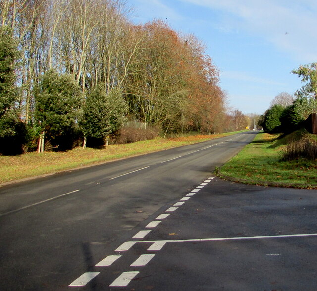
Image: © Jaggery Taken: 22 Nov 2020
Viewed from the Usk Road junction looking towards the A40 junction 500 metres from the camera.
Images are licensed for reuse under creativecommons.org/licenses/by-sa/2.0
Image Location
Latitude
51.764219
Longitude
-2.857484