Pastureland at Barton St David
Introduction
The photograph on this page of Pastureland at Barton St David by Edwin Graham as part of the Geograph project.
The Geograph project started in 2005 with the aim of publishing, organising and preserving representative images for every square kilometre of Great Britain, Ireland and the Isle of Man.

There are currently over 7.5m images from over 14,400 individuals and you can help contribute to the project by visiting https://www.geograph.org.uk
Pastureland at Barton St David
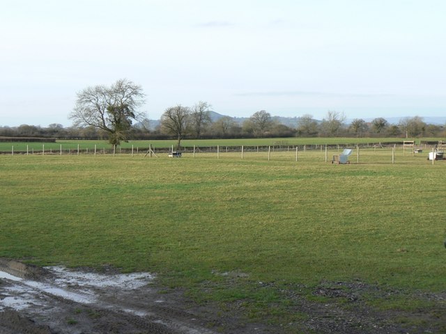
Image: © Edwin Graham Taken: 26 Jan 2008
These fields form a small part of the inland Somerset Levels in the flood plain of the River Brue. The field looks like a horse paddock, but is actually used for alpacas Image The hill in the background is Glastonbury Tor Image
Images are licensed for reuse under creativecommons.org/licenses/by-sa/2.0
Image Location
Latitude
51.096332
Longitude
-2.659848