Field West of Abinger Hammer
Introduction
The photograph on this page of Field West of Abinger Hammer by Colin Smith as part of the Geograph project.
The Geograph project started in 2005 with the aim of publishing, organising and preserving representative images for every square kilometre of Great Britain, Ireland and the Isle of Man.

There are currently over 7.5m images from over 14,400 individuals and you can help contribute to the project by visiting https://www.geograph.org.uk
Field West of Abinger Hammer
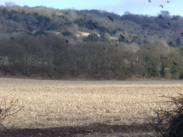
Image: © Colin Smith Taken: 26 Jan 2008
Bare field, with spooked rooks over it. Behind is the wooded scarp slope of Hackhurst Downs.
Images are licensed for reuse under creativecommons.org/licenses/by-sa/2.0
Image Location
Latitude
51.218793
Longitude
-0.438364