Green lane at Barton Lower Farm
Introduction
The photograph on this page of Green lane at Barton Lower Farm by Edwin Graham as part of the Geograph project.
The Geograph project started in 2005 with the aim of publishing, organising and preserving representative images for every square kilometre of Great Britain, Ireland and the Isle of Man.

There are currently over 7.5m images from over 14,400 individuals and you can help contribute to the project by visiting https://www.geograph.org.uk
Green lane at Barton Lower Farm
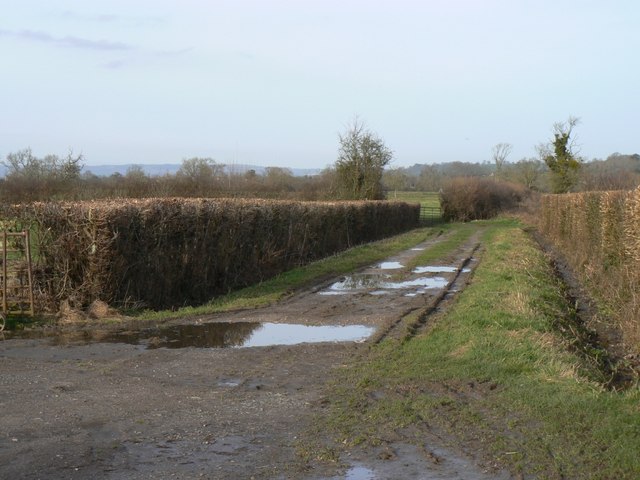
Image: © Edwin Graham Taken: 26 Jan 2008
The hamlet is at the end of a mile of public road, which turns into a green lane which goes off towards the River Brue.The Mendip Hills can be seen in the far distance.
Images are licensed for reuse under creativecommons.org/licenses/by-sa/2.0
Image Location


Leaflet Map data © OpenStreetMap
Latitude
51.096878
Longitude
-2.658713