Staygate Roundabout
Introduction
The photograph on this page of Staygate Roundabout by Stephen Craven as part of the Geograph project.
The Geograph project started in 2005 with the aim of publishing, organising and preserving representative images for every square kilometre of Great Britain, Ireland and the Isle of Man.

There are currently over 7.5m images from over 14,400 individuals and you can help contribute to the project by visiting https://www.geograph.org.uk
Staygate Roundabout
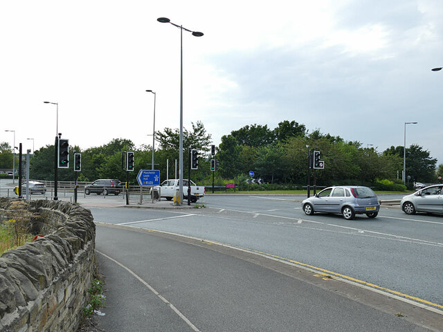
Image: © Stephen Craven Taken: 10 Aug 2020
The older form of the name of the area is Staithgate (and the road to the south, now diverted, is Staithgate Lane) but it has been corrupted in local usage to Staygate - internet searches will find results by both names. The roundabout is where the ring road meets the M606.
Images are licensed for reuse under creativecommons.org/licenses/by-sa/2.0
Image Location
Latitude
53.768422
Longitude
-1.748729