Reclaimed fields and spoil heap
Introduction
The photograph on this page of Reclaimed fields and spoil heap by Jonathan Thacker as part of the Geograph project.
The Geograph project started in 2005 with the aim of publishing, organising and preserving representative images for every square kilometre of Great Britain, Ireland and the Isle of Man.

There are currently over 7.5m images from over 14,400 individuals and you can help contribute to the project by visiting https://www.geograph.org.uk
Reclaimed fields and spoil heap
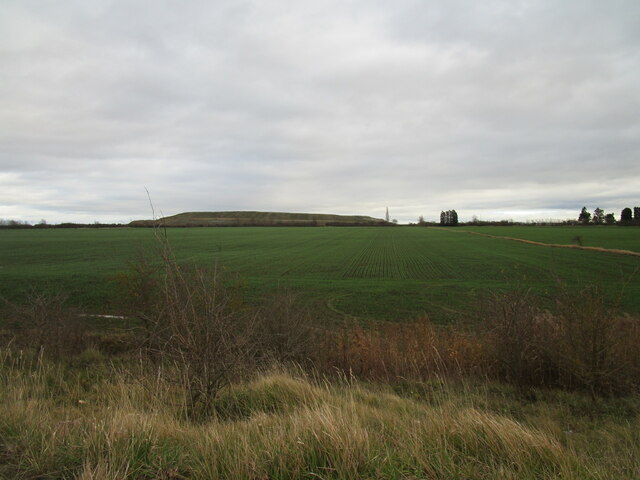
Image: © Jonathan Thacker Taken: 21 Nov 2020
The fields have been reclaimed from Staple Quarry and the spoil heap is part of the active Bantycock Quarry. Both quarries have been used for the extraction of gypsum.
Images are licensed for reuse under creativecommons.org/licenses/by-sa/2.0
Image Location
Latitude
53.034517
Longitude
-0.79547