Chesterton: ready for redevelopment
Introduction
The photograph on this page of Chesterton: ready for redevelopment by John Sutton as part of the Geograph project.
The Geograph project started in 2005 with the aim of publishing, organising and preserving representative images for every square kilometre of Great Britain, Ireland and the Isle of Man.

There are currently over 7.5m images from over 14,400 individuals and you can help contribute to the project by visiting https://www.geograph.org.uk
Chesterton: ready for redevelopment
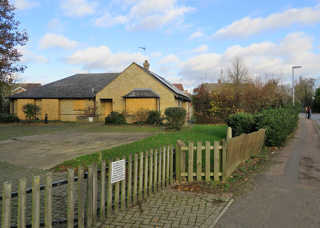
Image: © John Sutton Taken: 21 Nov 2020
These bungalows on Fen Road have been boarded up for some time.
Images are licensed for reuse under creativecommons.org/licenses/by-sa/2.0
Image Location


Leaflet Map data © OpenStreetMap
Latitude
52.220412
Longitude
0.154753