River Don flood defences
Introduction
The photograph on this page of River Don flood defences by Graham Hogg as part of the Geograph project.
The Geograph project started in 2005 with the aim of publishing, organising and preserving representative images for every square kilometre of Great Britain, Ireland and the Isle of Man.

There are currently over 7.5m images from over 14,400 individuals and you can help contribute to the project by visiting https://www.geograph.org.uk
River Don flood defences
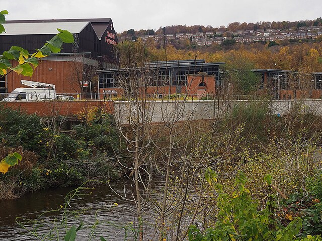
Image: © Graham Hogg Taken: 16 Nov 2020
The flood defences on both sides of the River Don have been heightened following a major and damaging flood in 2007. These new defences were successful (just) in preventing a recurrence in November 2019.
Images are licensed for reuse under creativecommons.org/licenses/by-sa/2.0
Image Location
Latitude
53.40802
Longitude
-1.420819