Lower Dunstone
Introduction
The photograph on this page of Lower Dunstone by Derek Harper as part of the Geograph project.
The Geograph project started in 2005 with the aim of publishing, organising and preserving representative images for every square kilometre of Great Britain, Ireland and the Isle of Man.

There are currently over 7.5m images from over 14,400 individuals and you can help contribute to the project by visiting https://www.geograph.org.uk
Lower Dunstone
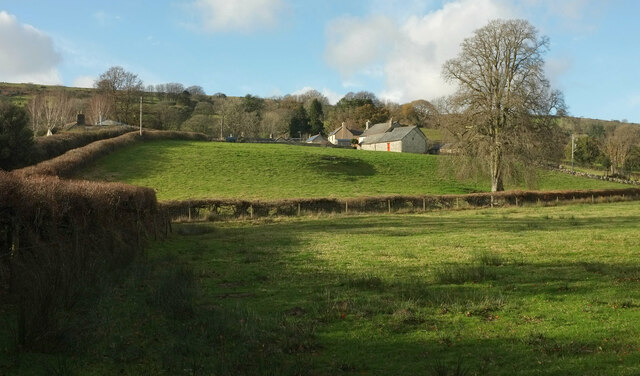
Image: © Derek Harper Taken: 19 Nov 2020
From a gate seen past the bridge in Image Just the roof of the listed farmhouse https://historicengland.org.uk/listing/the-list/list-entry/1260216 left of centre can be seen. Similarly, the hillside hides most of Dunstone Manor https://historicengland.org.uk/listing/the-list/list-entry/1241688 on the left.
Images are licensed for reuse under creativecommons.org/licenses/by-sa/2.0
Image Location
Latitude
50.568093
Longitude
-3.812883