
East Howe: Kinson Road
Introduction
The photograph on this page of East Howe: Kinson Road by Chris Downer as part of the Geograph project.
The Geograph project started in 2005 with the aim of publishing, organising and preserving representative images for every square kilometre of Great Britain, Ireland and the Isle of Man.

There are currently over 7.5m images from over 14,400 individuals and you can help contribute to the project by visiting https://www.geograph.org.uk
East Howe: Kinson Road
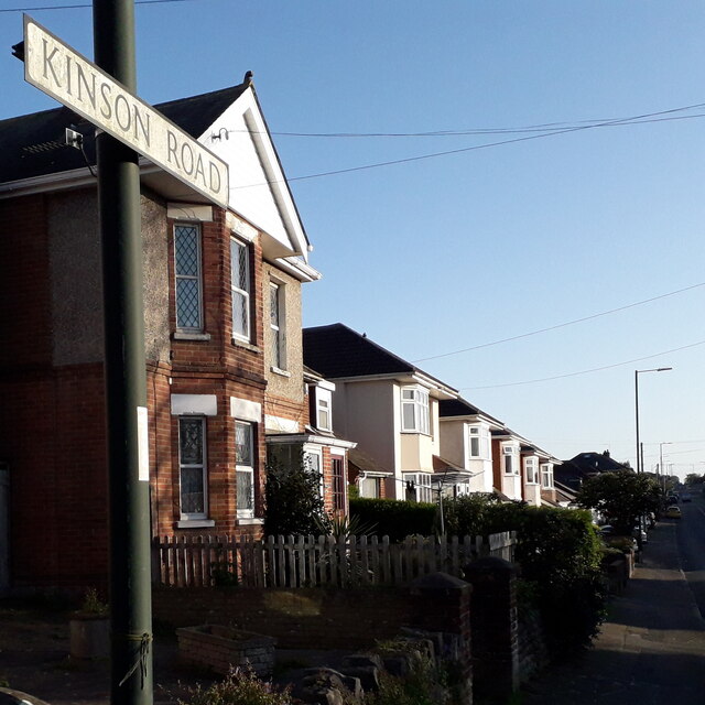
Image: © Chris Downer Taken: 14 Apr 2020
One of the most important through roads in the area, it is surprising that Kinson Road has never been classified as at least a B road, but in the 98 years of road classifications it never has. The road forms the direct route from Wallisdown into the centre of Kinson, about 2 miles, and is dead straight for the southern two thirds of this journey. It is residential for its whole length, apart from a short shopping parade and a couple of other corner shops, and the house numbers reach the mid-400s at Kinson. The sign is of a simple design which was produced in great numbers, I believe at the back end of the 1980s, and quite a few remain. Peculiarly, Kinson Road clearly was given a large number of these signs, even facing dead-end roads which could only be accessed from here – such as this one which faces Norcliffe Close. Some are beginning to look a little tatty while others, like this one, look as good as new. This is photo no.232 of a series of 451 in my coronavirus lockdown walking project: See https://www.geograph.org.uk/article/My-2020-Coronavirus-Lockdown-walking-project for the complete set of photos.
Images are licensed for reuse under creativecommons.org/licenses/by-sa/2.0
Image Location

Latitude
50.755726
Longitude
-1.902556