Smiddy Place
Introduction
The photograph on this page of Smiddy Place by Anne Burgess as part of the Geograph project.
The Geograph project started in 2005 with the aim of publishing, organising and preserving representative images for every square kilometre of Great Britain, Ireland and the Isle of Man.

There are currently over 7.5m images from over 14,400 individuals and you can help contribute to the project by visiting https://www.geograph.org.uk
Smiddy Place
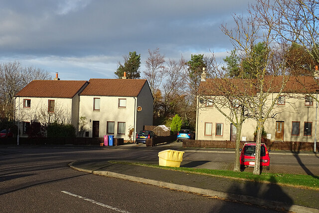
Image: © Anne Burgess Taken: 16 Nov 2020
This small cul-de-sac just off the A96 in Crook of Alves is named for the smiddy that once stood here, roughly where the left-hand house now is.
Images are licensed for reuse under creativecommons.org/licenses/by-sa/2.0
Image Location
Latitude
57.642493
Longitude
-3.448822