Rear of Saltisford properties, Warwick
Introduction
The photograph on this page of Rear of Saltisford properties, Warwick by Robin Stott as part of the Geograph project.
The Geograph project started in 2005 with the aim of publishing, organising and preserving representative images for every square kilometre of Great Britain, Ireland and the Isle of Man.

There are currently over 7.5m images from over 14,400 individuals and you can help contribute to the project by visiting https://www.geograph.org.uk
Rear of Saltisford properties, Warwick
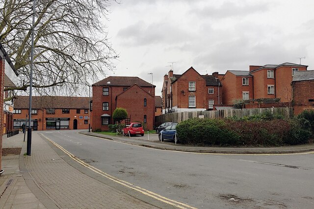
Image: © Robin Stott Taken: 22 Feb 2020
Saltisford is an old street, running northwest and downhill from the town centre, becoming the Birmingham Road. The view is from Parkes Street, which was formed as the public access to a large Sainsbury's supermarket, left, and its car park behind the camera..
Images are licensed for reuse under creativecommons.org/licenses/by-sa/2.0
Image Location
Latitude
52.283966
Longitude
-1.591993