Cattle grid by Buckland Bridge
Introduction
The photograph on this page of Cattle grid by Buckland Bridge by Derek Harper as part of the Geograph project.
The Geograph project started in 2005 with the aim of publishing, organising and preserving representative images for every square kilometre of Great Britain, Ireland and the Isle of Man.

There are currently over 7.5m images from over 14,400 individuals and you can help contribute to the project by visiting https://www.geograph.org.uk
Cattle grid by Buckland Bridge
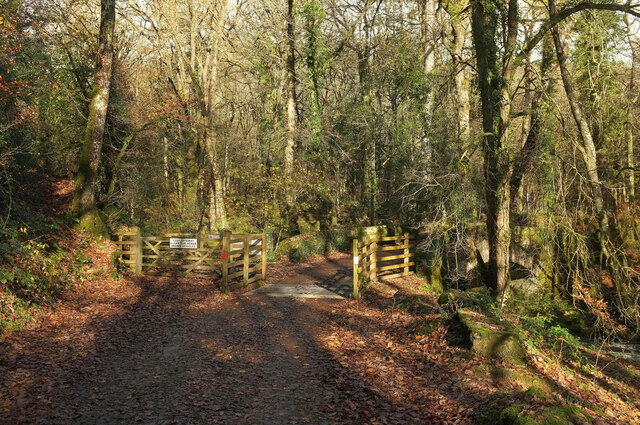
Image: © Derek Harper Taken: 19 Nov 2020
"Keep gateway clear for horse drawn vehicles", says the notice on the left. The listed bridge over the Webburn is more clearly shown at https://www.geograph.org.uk/search.php?i=124395337 . Access woodland extends up the west side of the Webburn to Blackadon Down and Lizwell Meet.
Images are licensed for reuse under creativecommons.org/licenses/by-sa/2.0
Image Location
Latitude
50.533163
Longitude
-3.809285