Lane at Maesmawr
Introduction
The photograph on this page of Lane at Maesmawr by John Gibson as part of the Geograph project.
The Geograph project started in 2005 with the aim of publishing, organising and preserving representative images for every square kilometre of Great Britain, Ireland and the Isle of Man.

There are currently over 7.5m images from over 14,400 individuals and you can help contribute to the project by visiting https://www.geograph.org.uk
Lane at Maesmawr
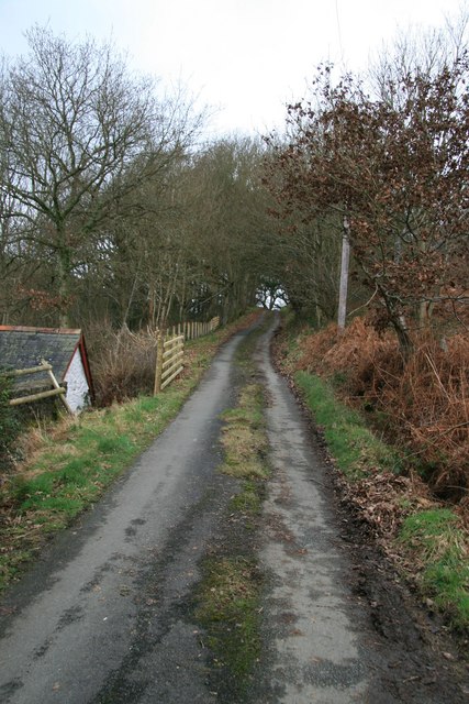
Image: © John Gibson Taken: 25 Jan 2008
View up the narrow and little-used country lane that leaves the A489 at Penstrowed Bridge, climbs past the (active) stone quarry and runs up and over Penstrowed Hill.
Images are licensed for reuse under creativecommons.org/licenses/by-sa/2.0
Image Location
Latitude
52.506059
Longitude
-3.378981