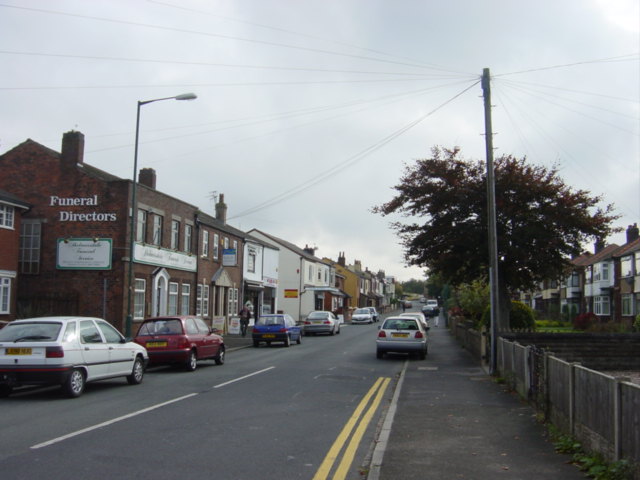
Sandy Lane, Old Skelmersdale
Introduction
The photograph on this page of Sandy Lane, Old Skelmersdale by Sue Adair as part of the Geograph project.
The Geograph project started in 2005 with the aim of publishing, organising and preserving representative images for every square kilometre of Great Britain, Ireland and the Isle of Man.
There are currently over 7.5m images from over 14,400 individuals and you can help contribute to the project by visiting https://www.geograph.org.uk

Image: © Sue Adair Taken: 15 Oct 2005
Shops and businesses in Sandy Lane, Old Skelmersdale, to the east of Ormskirk, an old coal mining village that became a New Town in the 1960s. 'Skem', as its locally called, was mentioned in the Domesday Book has a very long and interesting history. Dating back to 55 BC the Town was used as a resting place for Roman soldiers marching from Wigan to the harbour at Crosby on the River Mersey. Some 20 years ago a great quantity of Roman coins was discovered buried at Ottershead Farm. Skelmersdale lies in the shadow of Ashurst Beacon, where the District Council have created Beacon Country Park.

