Road junction at Cat's Ash near Fitzhead
Introduction
The photograph on this page of Road junction at Cat's Ash near Fitzhead by David Smith as part of the Geograph project.
The Geograph project started in 2005 with the aim of publishing, organising and preserving representative images for every square kilometre of Great Britain, Ireland and the Isle of Man.

There are currently over 7.5m images from over 14,400 individuals and you can help contribute to the project by visiting https://www.geograph.org.uk
Road junction at Cat's Ash near Fitzhead
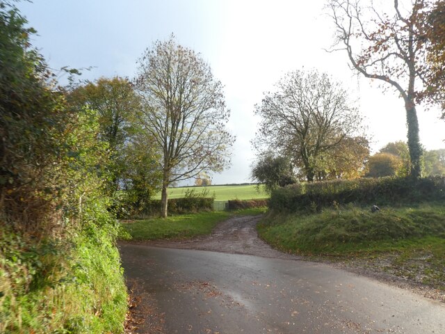
Image: © David Smith Taken: 3 Nov 2020
The track ahead is no longer a road, but remains a right of way
Images are licensed for reuse under creativecommons.org/licenses/by-sa/2.0
Image Location


Leaflet Map data © OpenStreetMap
Latitude
51.045743
Longitude
-3.266257