Milestone, Tunley Lane
Introduction
The photograph on this page of Milestone, Tunley Lane by Mr Red as part of the Geograph project.
The Geograph project started in 2005 with the aim of publishing, organising and preserving representative images for every square kilometre of Great Britain, Ireland and the Isle of Man.

There are currently over 7.5m images from over 14,400 individuals and you can help contribute to the project by visiting https://www.geograph.org.uk
Milestone, Tunley Lane
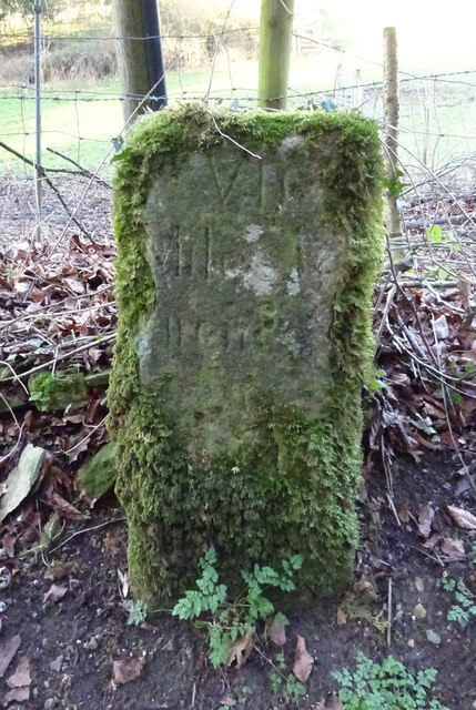
Image: © Mr Red Taken: 25 Feb 2019
In the area "Tunley". One of a group of "Stones" listed on old maps that form a route from Cirencester to Painswick and onward to Gloucester. Another view http://www.geograph.org.uk/photo/6072885 VII / Miles To / (C)irences / (ter) Milestone Society National ID: GL_CIBI07
Images are licensed for reuse under creativecommons.org/licenses/by-sa/2.0
Image Location
Latitude
51.740337
Longitude
-2.093654