Sign, Burradon
Introduction
The photograph on this page of Sign, Burradon by Geoff Holland as part of the Geograph project.
The Geograph project started in 2005 with the aim of publishing, organising and preserving representative images for every square kilometre of Great Britain, Ireland and the Isle of Man.

There are currently over 7.5m images from over 14,400 individuals and you can help contribute to the project by visiting https://www.geograph.org.uk
Sign, Burradon
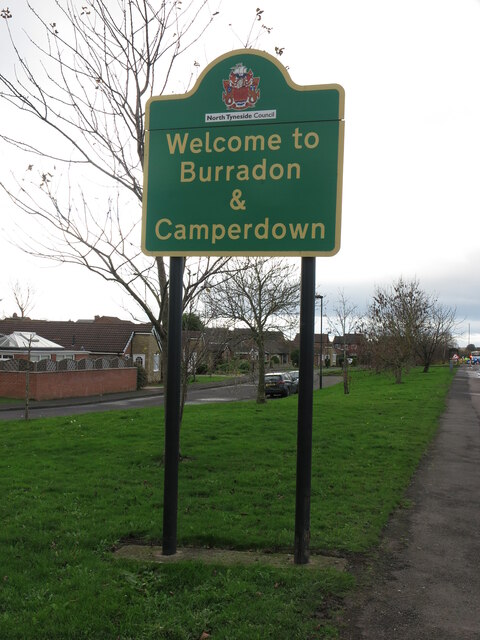
Image: © Geoff Holland Taken: 17 Nov 2020
The two villages of Burradon and Camperdown were once two separate entities but these days the two merge into one. For a selection of detailed free to download walking routes in the area visit www.northtynesidewalks.co.uk
Images are licensed for reuse under creativecommons.org/licenses/by-sa/2.0
Image Location
Latitude
55.049592
Longitude
-1.576908