The Hunter public house
Introduction
The photograph on this page of The Hunter public house by Christine Johnstone as part of the Geograph project.
The Geograph project started in 2005 with the aim of publishing, organising and preserving representative images for every square kilometre of Great Britain, Ireland and the Isle of Man.

There are currently over 7.5m images from over 14,400 individuals and you can help contribute to the project by visiting https://www.geograph.org.uk
The Hunter public house
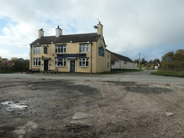
Image: © Christine Johnstone Taken: 2 Nov 2020
At the junction of Cresswell Road and Saverley Green Road. In 1880 this pub was called the New Inn.
Images are licensed for reuse under creativecommons.org/licenses/by-sa/2.0
Image Location
Latitude
52.943882
Longitude
-2.038649