Private Road to Burradon House
Introduction
The photograph on this page of Private Road to Burradon House by Geoff Holland as part of the Geograph project.
The Geograph project started in 2005 with the aim of publishing, organising and preserving representative images for every square kilometre of Great Britain, Ireland and the Isle of Man.

There are currently over 7.5m images from over 14,400 individuals and you can help contribute to the project by visiting https://www.geograph.org.uk
Private Road to Burradon House
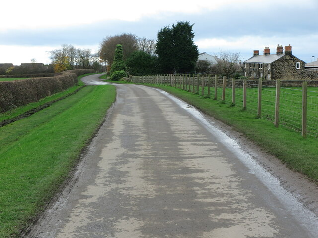
Image: © Geoff Holland Taken: 17 Nov 2020
Whilst this is a private road leading from the B1505 Burradon Road to the settlement of Burradon House, a public bridleway exists over the road. In the distance, to the extreme right, lie Quarry Cottages whilst behind, mainly obscured by trees, stands an abattoir. For a selection of detailed free to download walking routes in the area visit www.northtynesidewalks.co.uk
Images are licensed for reuse under creativecommons.org/licenses/by-sa/2.0
Image Location
Latitude
55.050209
Longitude
-1.573614