Entrance to Burradon House
Introduction
The photograph on this page of Entrance to Burradon House by Geoff Holland as part of the Geograph project.
The Geograph project started in 2005 with the aim of publishing, organising and preserving representative images for every square kilometre of Great Britain, Ireland and the Isle of Man.

There are currently over 7.5m images from over 14,400 individuals and you can help contribute to the project by visiting https://www.geograph.org.uk
Entrance to Burradon House
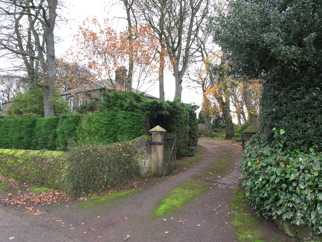
Image: © Geoff Holland Taken: 17 Nov 2020
When the first Ordnance Survey Six-Inch map of the area was published in 1864 this house did not exist although by the time the second edition appeared in 1898 it had been built. At that time, the house was clearly named as Burradon House whilst, on the current Ordnance Survey map, the house and the small settlement surrounding it appears to be known collectively as Burradon House. For a selection of detailed free to download walking routes in the area visit www.northtynesidewalks.co.uk
Images are licensed for reuse under creativecommons.org/licenses/by-sa/2.0
Image Location


Leaflet Map data © OpenStreetMap
Latitude
55.050825
Longitude
-1.569851