Direction Sign ? Signpost in Barrowford
Introduction
The photograph on this page of Direction Sign ? Signpost in Barrowford by D Armstrong as part of the Geograph project.
The Geograph project started in 2005 with the aim of publishing, organising and preserving representative images for every square kilometre of Great Britain, Ireland and the Isle of Man.

There are currently over 7.5m images from over 14,400 individuals and you can help contribute to the project by visiting https://www.geograph.org.uk
Direction Sign ? Signpost in Barrowford
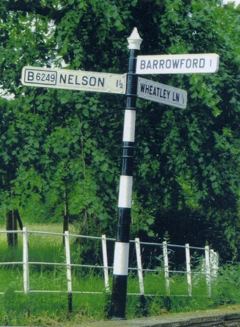
Image: © D Armstrong Taken: Unknown
Located on the south side of the T junction of Wheatley Lane and Carr Hall Road in Barrowford parish. 3 arms and cup & bell finial. Milestone Society National ID: LA_SD8438
Images are licensed for reuse under creativecommons.org/licenses/by-sa/2.0
Image Location
Latitude
53.843767
Longitude
-2.238121