Lane at Hendre
Introduction
The photograph on this page of Lane at Hendre by John Gibson as part of the Geograph project.
The Geograph project started in 2005 with the aim of publishing, organising and preserving representative images for every square kilometre of Great Britain, Ireland and the Isle of Man.

There are currently over 7.5m images from over 14,400 individuals and you can help contribute to the project by visiting https://www.geograph.org.uk
Lane at Hendre
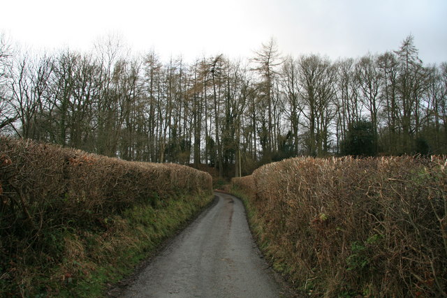
Image: © John Gibson Taken: 25 Jan 2008
A section of the narrow country lane that runs, between recently trimmed hedges, from just opposite the farm at Hendre to link various farms in a long loop to the south-west of Mochdre.
Images are licensed for reuse under creativecommons.org/licenses/by-sa/2.0
Image Location


Leaflet Map data © OpenStreetMap
Latitude
52.484985
Longitude
-3.374346