The Firs and Autumn sown field
Introduction
The photograph on this page of The Firs and Autumn sown field by Jonathan Thacker as part of the Geograph project.
The Geograph project started in 2005 with the aim of publishing, organising and preserving representative images for every square kilometre of Great Britain, Ireland and the Isle of Man.

There are currently over 7.5m images from over 14,400 individuals and you can help contribute to the project by visiting https://www.geograph.org.uk
The Firs and Autumn sown field
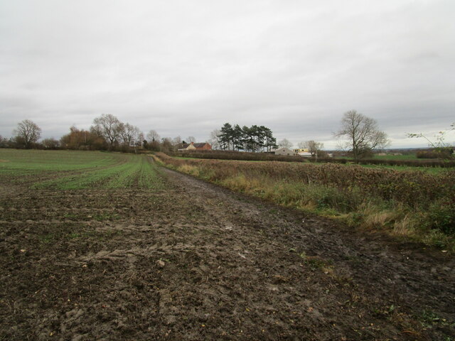
Image: © Jonathan Thacker Taken: 17 Nov 2020
The footpath which is the eastern extension of Clay Lane runs alongside the hedge on the right. The Firs was once the Newark Municipal Isolation Hospital.
Images are licensed for reuse under creativecommons.org/licenses/by-sa/2.0
Image Location
Latitude
53.07052
Longitude
-0.77342