Row of Cottages, Burradon House
Introduction
The photograph on this page of Row of Cottages, Burradon House by Geoff Holland as part of the Geograph project.
The Geograph project started in 2005 with the aim of publishing, organising and preserving representative images for every square kilometre of Great Britain, Ireland and the Isle of Man.

There are currently over 7.5m images from over 14,400 individuals and you can help contribute to the project by visiting https://www.geograph.org.uk
Row of Cottages, Burradon House
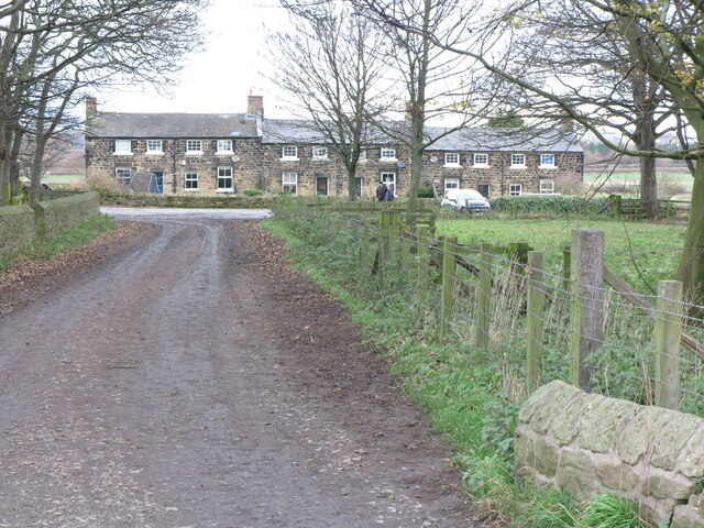
Image: © Geoff Holland Taken: 17 Nov 2020
There were cottages here prior to the publication of the first Ordnance Survey Six-Inch map of the area in 1866. For a selection of detailed free to download walking routes in the area visit www.northtynesidewalks.co.uk
Images are licensed for reuse under creativecommons.org/licenses/by-sa/2.0
Image Location


Leaflet Map data © OpenStreetMap
Latitude
55.051361
Longitude
-1.568906