Fryer's Millennium Green, Burradon
Introduction
The photograph on this page of Fryer's Millennium Green, Burradon by Geoff Holland as part of the Geograph project.
The Geograph project started in 2005 with the aim of publishing, organising and preserving representative images for every square kilometre of Great Britain, Ireland and the Isle of Man.

There are currently over 7.5m images from over 14,400 individuals and you can help contribute to the project by visiting https://www.geograph.org.uk
Fryer's Millennium Green, Burradon
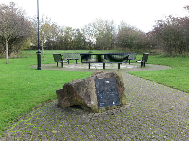
Image: © Geoff Holland Taken: 17 Nov 2020
When the second edition of the Ordnance Survey Six-Inch map of the area was published in 1898 this area was the site of Fryer's Terrace. Subsequently, in 1954, the properties in Fryer's Terrace were demolished and the area became derelict for many years. The project to create the Millennium Green was organised by the Burradon & Camperdown Forum and was officially opened in 2001. The land is now owned and maintained by North Tyneside Council. For a selection of detailed free to download walking routes in the area visit www.northtynesidewalks.co.uk
Images are licensed for reuse under creativecommons.org/licenses/by-sa/2.0
Image Location
Latitude
55.043662
Longitude
-1.577283