The Travellers Rest, Front Street, Camperdown
Introduction
The photograph on this page of The Travellers Rest, Front Street, Camperdown by Geoff Holland as part of the Geograph project.
The Geograph project started in 2005 with the aim of publishing, organising and preserving representative images for every square kilometre of Great Britain, Ireland and the Isle of Man.

There are currently over 7.5m images from over 14,400 individuals and you can help contribute to the project by visiting https://www.geograph.org.uk
The Travellers Rest, Front Street, Camperdown
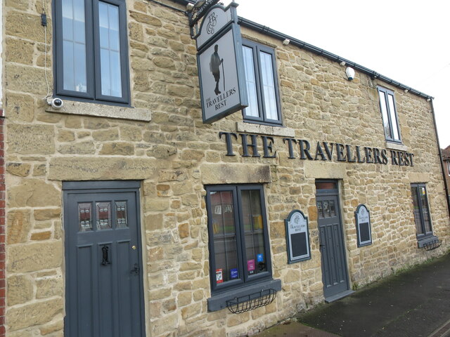
Image: © Geoff Holland Taken: 17 Nov 2020
When the second edition of the Ordnance Survey Six-Inch map of the area was published in 1898, two public houses were named on the map, the Grey Horse Hotel and the Half Way House Inn. The Travellers Rest was not named on the map although the building appears to pre-date the map. For a selection of detailed free to download walking routes in the area visit www.northtynesidewalks.co.uk
Images are licensed for reuse under creativecommons.org/licenses/by-sa/2.0
Image Location
Latitude
55.043042
Longitude
-1.579794