Railway line from Stowford Bridge
Introduction
The photograph on this page of Railway line from Stowford Bridge by Derek Harper as part of the Geograph project.
The Geograph project started in 2005 with the aim of publishing, organising and preserving representative images for every square kilometre of Great Britain, Ireland and the Isle of Man.

There are currently over 7.5m images from over 14,400 individuals and you can help contribute to the project by visiting https://www.geograph.org.uk
Railway line from Stowford Bridge
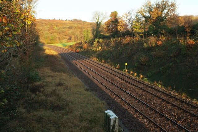
Image: © Derek Harper Taken: 13 Nov 2020
Looking in the opposite direction from Image], towards the Erme valley viaduct and Longtimber Wood. The yellow milepost indicates 234¾ miles from Paddington.
Images are licensed for reuse under creativecommons.org/licenses/by-sa/2.0
Image Location
Latitude
50.395578
Longitude
-3.914633