Stream, Hall Farm
Introduction
The photograph on this page of Stream, Hall Farm by Derek Harper as part of the Geograph project.
The Geograph project started in 2005 with the aim of publishing, organising and preserving representative images for every square kilometre of Great Britain, Ireland and the Isle of Man.

There are currently over 7.5m images from over 14,400 individuals and you can help contribute to the project by visiting https://www.geograph.org.uk
Stream, Hall Farm
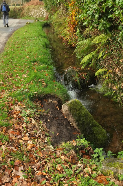
Image: © Derek Harper Taken: 13 Nov 2020
This arm of King's Gutter Leat disappears beneath the lane in front of the camera, to reappear on the other side as shown in Image
Images are licensed for reuse under creativecommons.org/licenses/by-sa/2.0
Image Location
Latitude
50.420878
Longitude
-3.929308