Breck Road junction with St Hilary Brow, Wallasey
Introduction
The photograph on this page of Breck Road junction with St Hilary Brow, Wallasey by John S Turner as part of the Geograph project.
The Geograph project started in 2005 with the aim of publishing, organising and preserving representative images for every square kilometre of Great Britain, Ireland and the Isle of Man.

There are currently over 7.5m images from over 14,400 individuals and you can help contribute to the project by visiting https://www.geograph.org.uk
Breck Road junction with St Hilary Brow, Wallasey
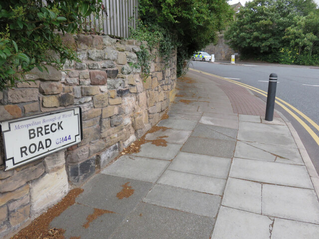
Image: © John S Turner Taken: 29 Jul 2014
The A551 follows the curve to the left from Breck Road into St Hilary Brow. There is a very weathered Ordnance Survey bench mark on the pale sandstone block immediately below the 'Breck Road' sign. See: Image
Images are licensed for reuse under creativecommons.org/licenses/by-sa/2.0
Image Location
Latitude
53.419813
Longitude
-3.060623