The Walton Mile
Introduction
The photograph on this page of The Walton Mile by Sean Davis as part of the Geograph project.
The Geograph project started in 2005 with the aim of publishing, organising and preserving representative images for every square kilometre of Great Britain, Ireland and the Isle of Man.

There are currently over 7.5m images from over 14,400 individuals and you can help contribute to the project by visiting https://www.geograph.org.uk
The Walton Mile
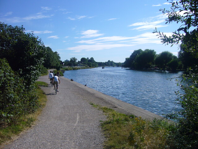
Image: © Sean Davis Taken: 30 Jul 2008
The stretch of the river from here to near Walton Bridge is known as "The Walton Mile". It's mainly straight, it's wide and many regattas have been held here since the 18th Century. This photo is taken from the Thames Path, just north of Walton Rowing Club.
Images are licensed for reuse under creativecommons.org/licenses/by-sa/2.0
Image Location
Latitude
51.395015
Longitude
-0.417968