Public Footpath Markers
Introduction
The photograph on this page of Public Footpath Markers by Neil Goodwin as part of the Geograph project.
The Geograph project started in 2005 with the aim of publishing, organising and preserving representative images for every square kilometre of Great Britain, Ireland and the Isle of Man.

There are currently over 7.5m images from over 14,400 individuals and you can help contribute to the project by visiting https://www.geograph.org.uk
Public Footpath Markers
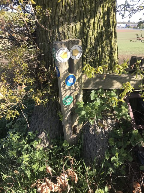
Image: © Neil Goodwin Taken: 20 Apr 2020
Footpath markers where the Centenary Way, North Arden Trail and a local public footpath all join together
Images are licensed for reuse under creativecommons.org/licenses/by-sa/2.0
Image Location
Latitude
52.518509
Longitude
-1.540309