Unseen district boundary on the B5027 [Uttoxeter Road]
Introduction
The photograph on this page of Unseen district boundary on the B5027 [Uttoxeter Road] by Christine Johnstone as part of the Geograph project.
The Geograph project started in 2005 with the aim of publishing, organising and preserving representative images for every square kilometre of Great Britain, Ireland and the Isle of Man.

There are currently over 7.5m images from over 14,400 individuals and you can help contribute to the project by visiting https://www.geograph.org.uk
Unseen district boundary on the B5027 [Uttoxeter Road]
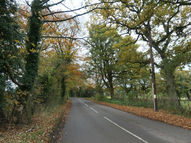
Image: © Christine Johnstone Taken: 2 Nov 2020
Stafford to the left/south of the white line, Staffordshire Moorlands to the right/north.
Images are licensed for reuse under creativecommons.org/licenses/by-sa/2.0
Image Location
Latitude
52.894627
Longitude
-1.987621