Public bridleway 637
Introduction
The photograph on this page of Public bridleway 637 by Robin Webster as part of the Geograph project.
The Geograph project started in 2005 with the aim of publishing, organising and preserving representative images for every square kilometre of Great Britain, Ireland and the Isle of Man.

There are currently over 7.5m images from over 14,400 individuals and you can help contribute to the project by visiting https://www.geograph.org.uk
Public bridleway 637
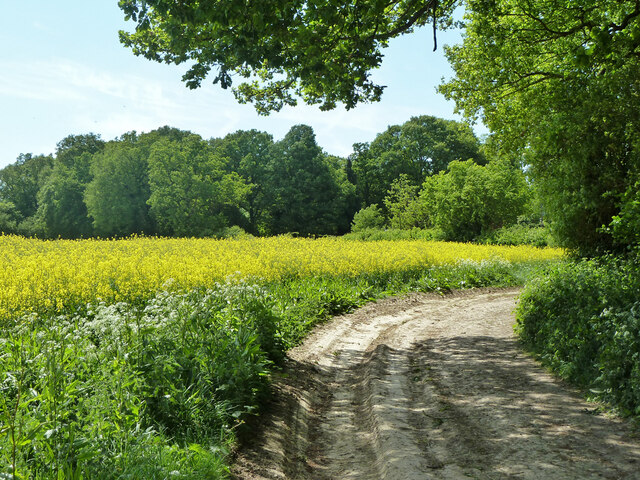
Image: © Robin Webster Taken: 3 May 2011
Here skirting round Wephurst Wood. The raw state of the track was because extensive timber extraction was going on.
Images are licensed for reuse under creativecommons.org/licenses/by-sa/2.0
Image Location
Latitude
51.055691
Longitude
-0.537746