Trig point at Whimberry Hill
Introduction
The photograph on this page of Trig point at Whimberry Hill by Trevor Littlewood as part of the Geograph project.
The Geograph project started in 2005 with the aim of publishing, organising and preserving representative images for every square kilometre of Great Britain, Ireland and the Isle of Man.

There are currently over 7.5m images from over 14,400 individuals and you can help contribute to the project by visiting https://www.geograph.org.uk
Trig point at Whimberry Hill
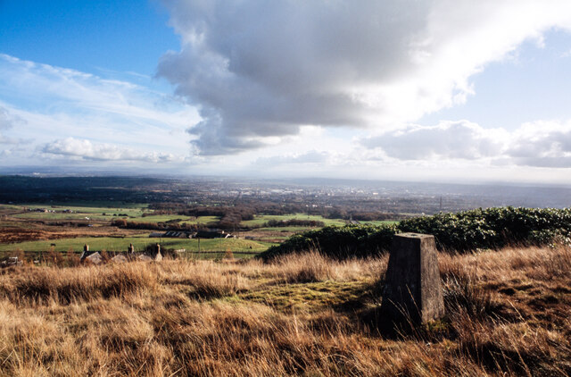
Image: © Trevor Littlewood Taken: 12 Nov 2003
The trig point known by the OS as Whimberry Hill stands on moorland at the edge of access land. The roof and chimneys of Lomax Wife's Farm can be seen below. Bolton is in the distance.
Images are licensed for reuse under creativecommons.org/licenses/by-sa/2.0
Image Location


Leaflet Map data © OpenStreetMap
Latitude
53.614847
Longitude
-2.476571