6, Roper Road
Introduction
The photograph on this page of 6, Roper Road by John Baker as part of the Geograph project.
The Geograph project started in 2005 with the aim of publishing, organising and preserving representative images for every square kilometre of Great Britain, Ireland and the Isle of Man.

There are currently over 7.5m images from over 14,400 individuals and you can help contribute to the project by visiting https://www.geograph.org.uk
6, Roper Road
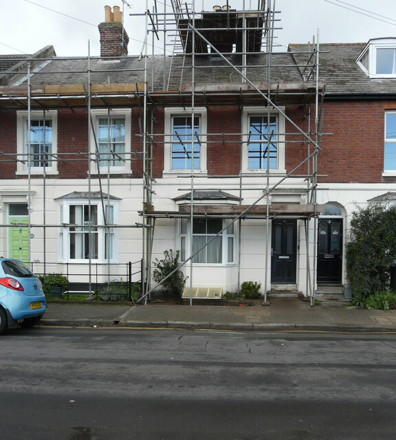
Image: © John Baker Taken: 25 Oct 2020
Planning permission has been granted by Canterbury City Council under application number CA/20/01573 for a “single-storey rear extension together with 1 dormer window to front elevation and 2 dormer windows to rear elevation for use of roof space as additional living accommodation”.
Images are licensed for reuse under creativecommons.org/licenses/by-sa/2.0
Image Location
Latitude
51.283558
Longitude
1.073219