Blaydon Road Bridge near Pendeford in Wolverhampton
Introduction
The photograph on this page of Blaydon Road Bridge near Pendeford in Wolverhampton by Roger Kidd as part of the Geograph project.
The Geograph project started in 2005 with the aim of publishing, organising and preserving representative images for every square kilometre of Great Britain, Ireland and the Isle of Man.

There are currently over 7.5m images from over 14,400 individuals and you can help contribute to the project by visiting https://www.geograph.org.uk
Blaydon Road Bridge near Pendeford in Wolverhampton
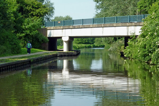
Image: © Roger Kidd Taken: 26 Jun 2013
Blaydon Road Bridge is No 66 across the Staffordshire and Worcestershire Canal north of Autherley Junction. Housing nearby was developed in the 1950s or 1960s, so presumably the bridge dates from a similar time, but is incorporated in the current numbering sequence.
Images are licensed for reuse under creativecommons.org/licenses/by-sa/2.0
Image Location
Latitude
52.616851
Longitude
-2.145737