Kepwick Hall
Introduction
The photograph on this page of Kepwick Hall by Gordon Hatton as part of the Geograph project.
The Geograph project started in 2005 with the aim of publishing, organising and preserving representative images for every square kilometre of Great Britain, Ireland and the Isle of Man.

There are currently over 7.5m images from over 14,400 individuals and you can help contribute to the project by visiting https://www.geograph.org.uk
Kepwick Hall
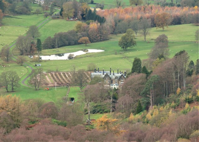
Image: © Gordon Hatton Taken: 12 Nov 2020
Victorian pile set in extensive grounds at the base of the Hambleton Hills. The house doesn't feature on first edition OS maps being later than 1865.
Images are licensed for reuse under creativecommons.org/licenses/by-sa/2.0
Image Location


Leaflet Map data © OpenStreetMap
Latitude
54.31111
Longitude
-1.267425