Benchmark on a wall in Christon
Introduction
The photograph on this page of Benchmark on a wall in Christon by Neil Owen as part of the Geograph project.
The Geograph project started in 2005 with the aim of publishing, organising and preserving representative images for every square kilometre of Great Britain, Ireland and the Isle of Man.

There are currently over 7.5m images from over 14,400 individuals and you can help contribute to the project by visiting https://www.geograph.org.uk
Benchmark on a wall in Christon
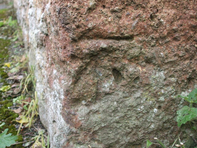
Image: © Neil Owen Taken: 14 Oct 2020
A cutmark set into a domestic wall on the road has weathered a little over the years. See https://www.bench-marks.org.uk/bm135531 for the entry in the Benchmark Database or Image] for a wider view.
Images are licensed for reuse under creativecommons.org/licenses/by-sa/2.0
Image Location


Leaflet Map data © OpenStreetMap
Latitude
51.310577
Longitude
-2.89534