Direction Sign ? Signpost on Mark Moor
Introduction
The photograph on this page of Direction Sign ? Signpost on Mark Moor by R Raynsford as part of the Geograph project.
The Geograph project started in 2005 with the aim of publishing, organising and preserving representative images for every square kilometre of Great Britain, Ireland and the Isle of Man.

There are currently over 7.5m images from over 14,400 individuals and you can help contribute to the project by visiting https://www.geograph.org.uk
Direction Sign ? Signpost on Mark Moor
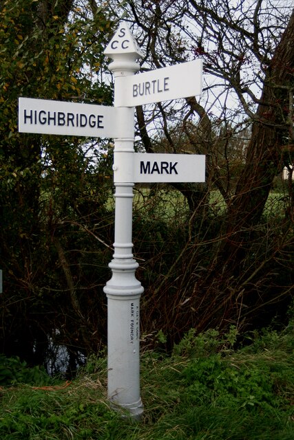
Image: © R Raynsford Taken: 31 Oct 2020
Located on the northeast side of the junction of Southwick Road, Yarrow Road and River Road in Mark parish. 3 arms and pyramid finial. See also http://www.flickr.com/photos/13171205@N08/8370995757 before it was restored. Milestone Society National ID: SO_ST3746
Images are licensed for reuse under creativecommons.org/licenses/by-sa/2.0
Image Location
Latitude
51.215642
Longitude
-2.892638